Much Nothing About Ado

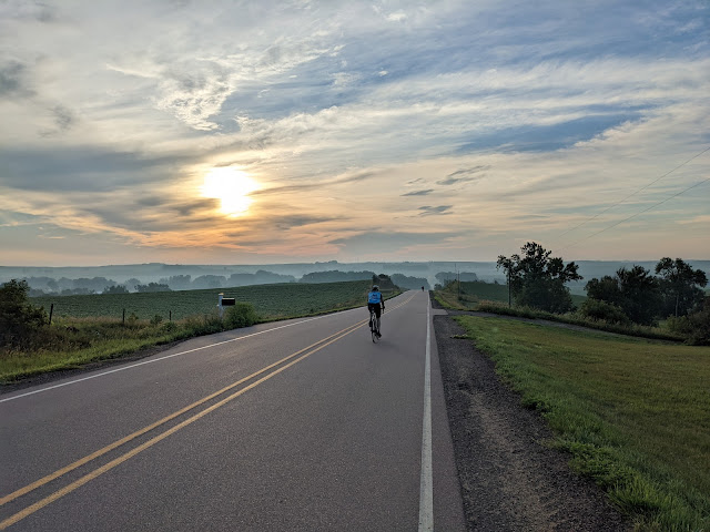
Rounding the bend on Ride the Rockies As I look back at 2023, I get the sense that I'm basically finishing this year where I started the last one. Sure, lots of stuff happened, but ultimately, I don't feel significantly ahead or behind where I was a year ago. Is that good? Bad? Neither? I'm finishing up my 8th year with the Colorado Department of Education. It's still good work, but there's so much of it! It's difficult to not finish each day just dwelling on all the things that might help people but there's just not enough hours to do it all. This has also been a year for many new colleagues, which brings new opportunities and challenges. By some measures, you might say this was my biggest cycling year yet. I rode Ride the Rockies for a second time, and that week was dominated by cold, wet weather. The highlight of the week should have been riding over Rocky Mountain National Park on Trail Ridge Road, but snow had closed the road and even if by some good